
The Urbanna Creek Kayak Route
The Urbanna Creek kayak route goes along a slow–moving tidal waterway shaped by the history of settlement, protected shorelines, and the steady flow of the bay. This route shows how paddlers move through calm creek water, where natural and human elements meet, how timing affects comfort, and when the creek is at its most balanced.
Geographic Position and Route Form
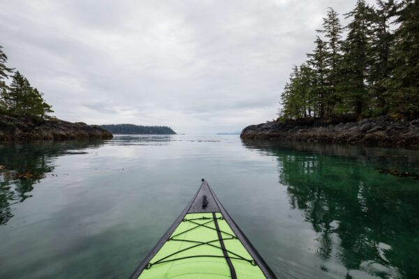
The Urbanna Creek kayak route is in a protected inlet that connects landforms on the inside with wider bay water. The creek bends gently, letting people move without sharp turns or sudden openings. The shorelines stay close together, which gives the area a feeling of being contained that is different from exposed coastal paddles.
Along the route, banks are made up of marsh grass, low plants, and built edges that are close to populated areas. It takes time for land to change from natural to developed. There are parts of the view that show houses, docks, and small waterfront buildings instead of all of them at once. The route is steady and predictable because of the mix of landscapes.
The water stays at a moderate depth in most places. There are shallow edges near the edges, but the center channel is still open at all tidal stages. You don’t need to be an expert navigator to cross the creek, but you still need to pay attention to where you’re going and how far apart you are.
Common visual traits are:
- Curving shoreline that makes it hard to see far away
- Residential areas with dock structures spaced out
- Marshes and grasslands between built–up areas
This structure lets you explore at your own pace without being completely alone.
Water Dynamics on the Urbanna Creek Kayak Route
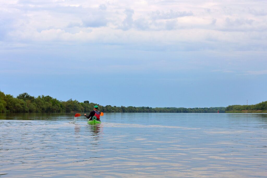
The main thing that affects how the water moves along the Urbanna Creek kayak route is the tide, not the wind. The incoming tide slowly pushes water upstream, and the outgoing tide pulls it back toward the open bay. The current is still gentle, so even steady beginners can make corrections easily.
The wind effect stays small because of the land around it. Only stronger weather systems can break the calm on the surface. Most of the time, the water is calm, with only small ripples from animals passing by or boats far away. Reflection often stays visible, which makes it easier to find your way.
Planning around the tide makes the experience better. High tide makes it easier to get to the shore and makes it look better. Low tide exposes the edges of the mud and makes fewer places to land. Rain may change the color a little, but the flow speed doesn’t change enough to make it difficult to control.
Paddlers usually think about:
- Tide height for comfort during launch and return
- Local boats during busy times
- Long–term weather stability for observation
- Daylight window for slow travel
These things make a route that is easy to follow and low–stress.
Patterns of Wildlife and the Natural Environment
The Urbanna Creek area is home to animals that have adapted to living in tidal creek systems. Bird activity stays the same all year, but the types of birds change with the seasons. Water birds eat along the edges of marshes, and smaller birds stay busy in the plants along the shore.
Instead of being able to see fish directly, you can see them move by disturbing the surface. Feeding behavior is shown by small jumps, rings, and wakes. Turtles like to rest near logs or floating debris when the weather is warm. Insects are more common near plants, but they don’t usually get in the way of paddling.
A lot of what makes the creek unique is the plants that grow there. When the water level changes, grasses bend, and trees lean toward the shore. This makes a layered view where you can see water, plants, and the sky all at once.
A slower pace makes it easier to see things. The route rewards paddlers who take the time to let sound, movement, and thought settle.
The History and Impact of People
The Urbanna Creek kayak route shows that people have been living near water for a long time. The creek used to be a useful way to get around, fish, and live. Because it flowed slowly, small boats could move people and goods with little risk.
Over time, residential use took the place of commercial transport. A lot of the shoreline is now made up of docks and private access points. The creek, on the other hand, didn’t go through a lot of industrial change. The waterway stayed the same shape and flow pattern as before.
This balance between use and preservation affects how you paddle. Structures made by people look familiar and small instead of too big. The path feels like it’s been used, but not too many people are on it.
Knowing this context makes the paddle more meaningful. Movement follows paths that are shaped by everyday life, not by design.
Being aware of safety and using it in real life
Being aware of your surroundings and sharing space are the keys to staying safe on the Urbanna Creek kayak route. Small boats may use the creek, especially in the summer. Being visible and predictable lowers the risk of interaction.
Different places have different ways to get to the shore. Some parts are easy to land on, while others are still privately owned. Paddlers should plan their breaks with this in mind. In the summer, heat exposure is important because there isn’t much shade over the water.
Preparation is all about keeping things simple. Stable craft, water, and communication tools help people feel comfortable. Paddling in a group makes things easier to see and understand.
Some important safety tips are:
- Being aware of boat traffic in the area
- Few public places to land
- Long periods of time in the sun
Respectful behavior helps people get along on the water.